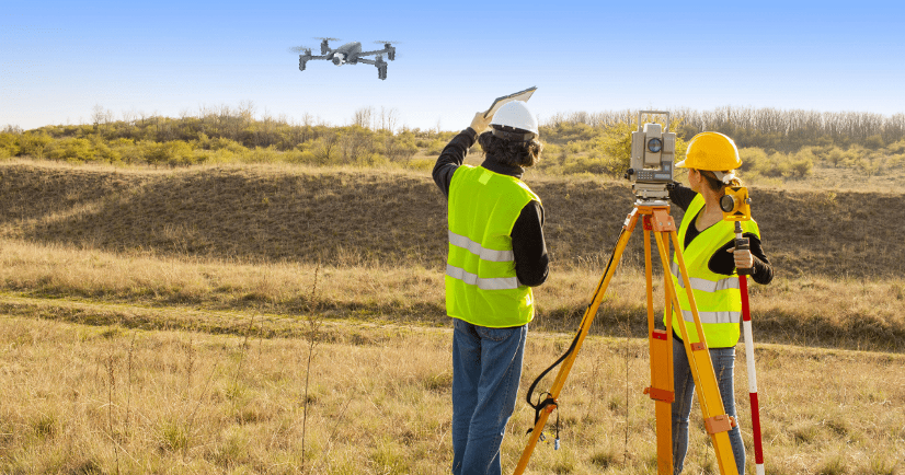
We are a team of surveyors, UAV pilots, and spatial analysts specialising in transforming complex terrain into actionable maps and models. With certified equipment, controlled workflows, and agile delivery, we guarantee accuracy for construction projects, linear works, mining projects, and environmental monitoring. We work to reduce costs, anticipate risks, and accelerate technical and legal approvals.