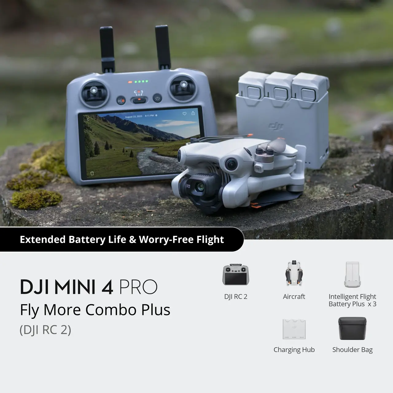
Solutions for mapping, inspection, and fieldwork: from lightweight drones for photography and surveying to enterprise platforms for precision agriculture, topography, and multispectral surveying.