
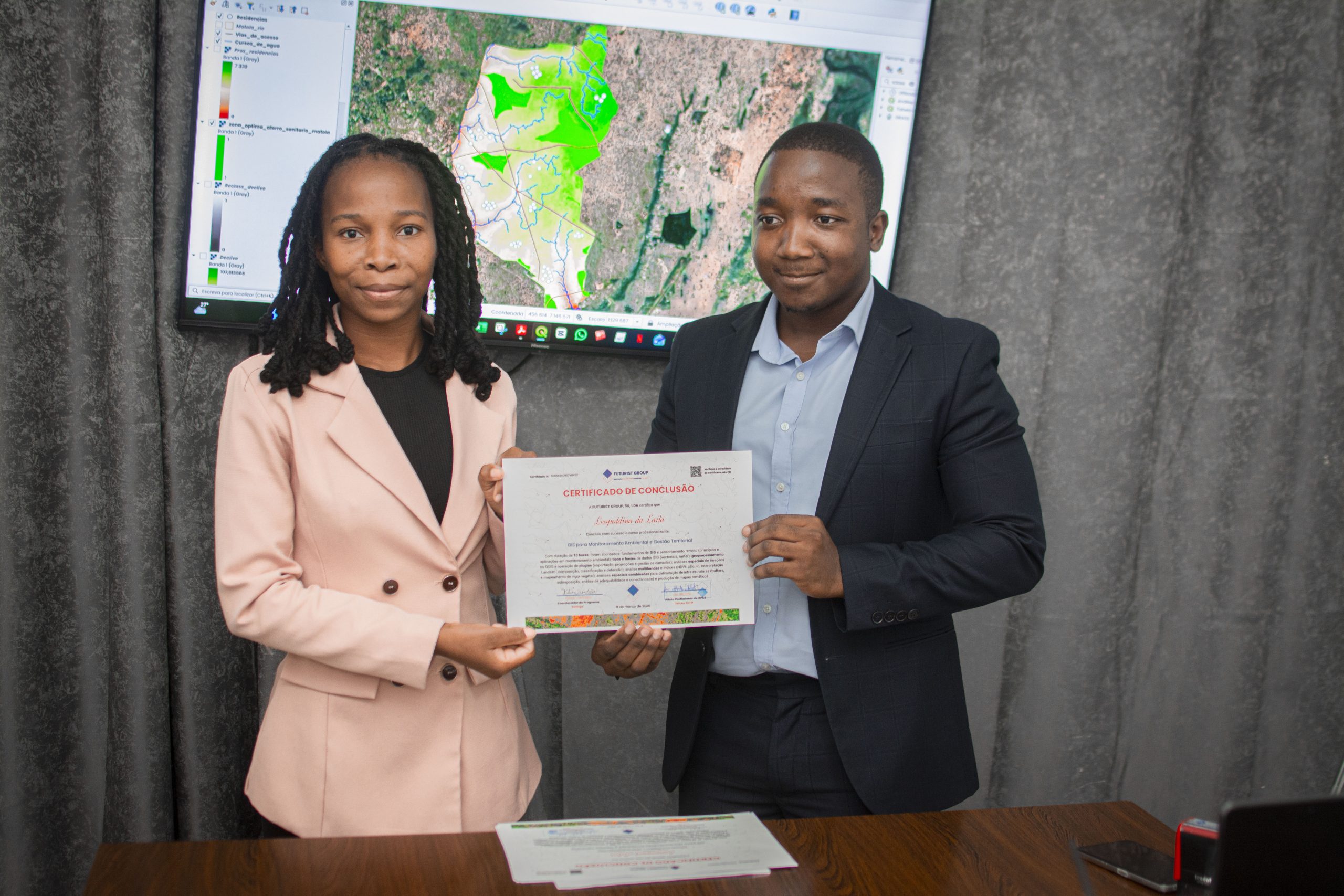
On March 5, 6, and 9, Futurist Group conducted the GIS for Environmental Monitoring and Territorial Management course. The training aimed to equip participants with skills in using Geographic Information Systems (GIS) for the analysis and management of geospatial data applied to environmental monitoring and territorial planning.
google-site-verification: google8ec36003967f9b65.html
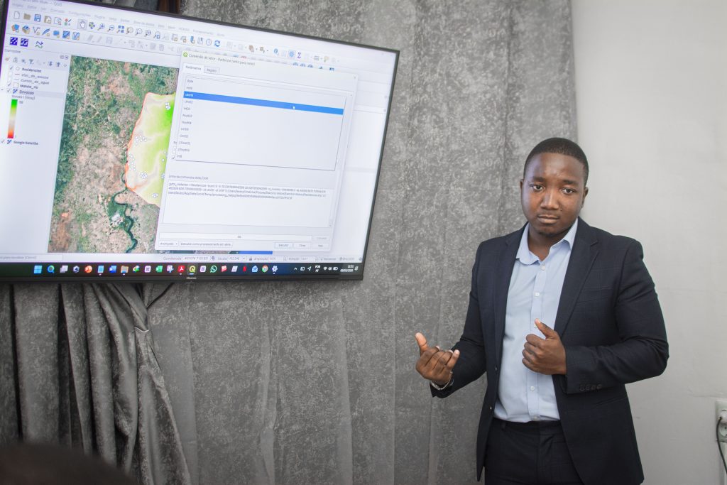
During the course, participants explored spatial analysis tools and techniques, enabling the use of geographic data to support decision-making processes, natural resource management, and territorial planning. The initiative reinforces the importance of geospatial technologies as essential tools to support environmental monitoring strategies and territorial management in an efficient and data-driven manner.